
Oxford First Atlas (2011)
R187.95 (incl. VAT)
Have you ever wondered…
· What the Earth looks like from space?
· How many continents there are?
· Where Mount Everest is?
Find out in your very first atlas!
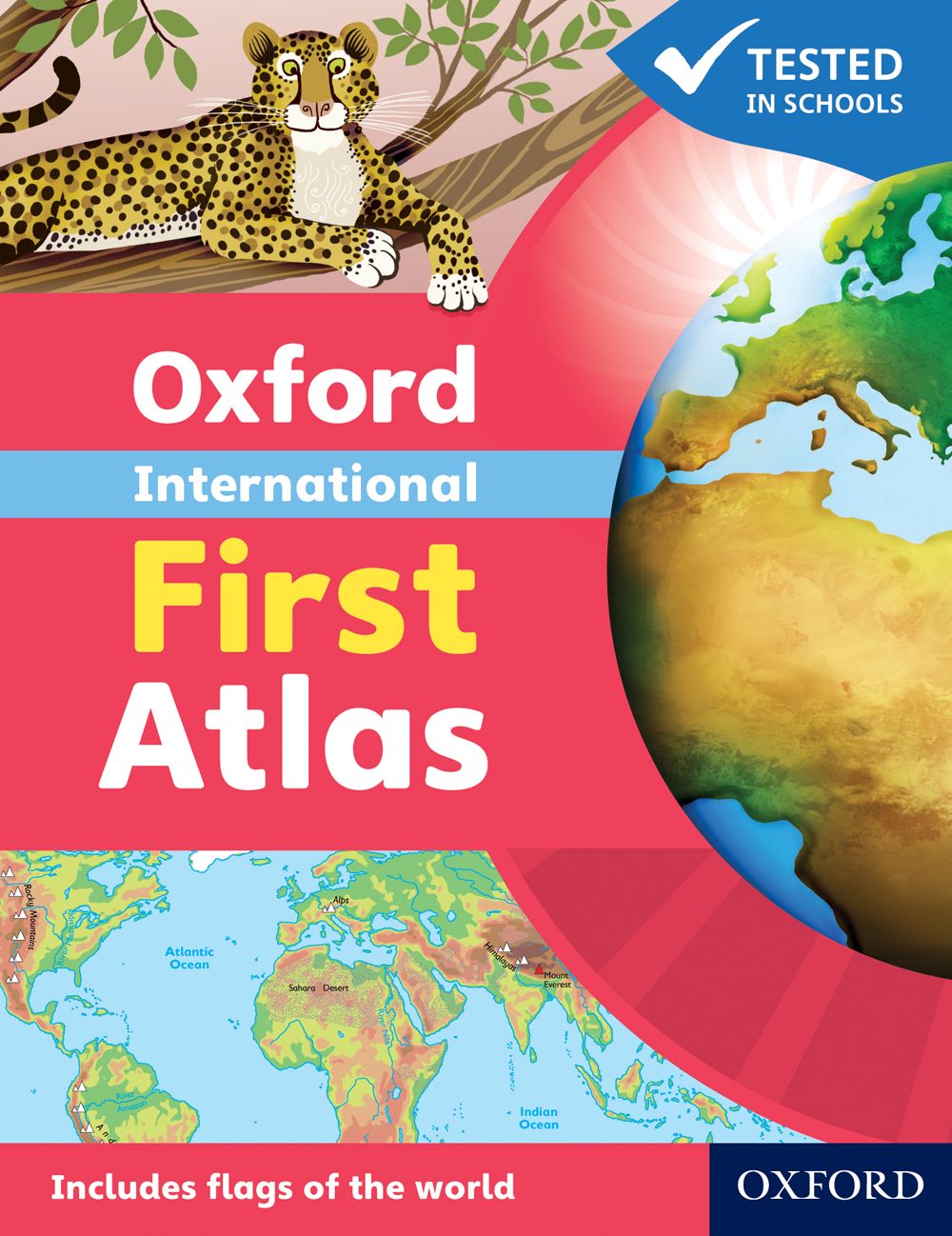
The Oxford International First Atlas is a stimulating first atlas for young children. It is completely up-to-date with accurate, easy-to-read and colourful mapping, presented in an accessible visual layout based on research into how young children use maps. It introduces young learners to maps and develops early atlas skills, encouraging them to talk about local and distant places and to find key places on maps. It includes:
· An introduction to the globe and places around the world
· Stunning images of the Earth from space
· Clear and colourful maps of the world and all the continents
· Popular themes such as world animals and holidays
· Fascinating facts about places and people.
The Oxford International First Atlas is also accompanied by the Activity Book for independent work to develop map literacy skills.
· What the Earth looks like from space?
· How many continents there are?
· Where Mount Everest is?
Find out in your very first atlas!
The Oxford International First Atlas is a stimulating first atlas for young children. It is completely up-to-date with accurate, easy-to-read and colourful mapping, presented in an accessible visual layout based on research into how young children use maps. It introduces young learners to maps and develops early atlas skills, encouraging them to talk about local and distant places and to find key places on maps. It includes:
· An introduction to the globe and places around the world
· Stunning images of the Earth from space
· Clear and colourful maps of the world and all the continents
· Popular themes such as world animals and holidays
· Fascinating facts about places and people.
The Oxford International First Atlas is also accompanied by the Activity Book for independent work to develop map literacy skills.
Features
- Simple introductory atlas with a narrative thread
- Bright and colourful mapping that appeals to young children and gets them motivated to learn
- Excellent introduction to maps and finding places in the world to encourage children to talk about local and distant places
- Develops early atlas skills in young learners
- Contains stunning photos and satellite images
- Accessible visual layout based on evidence for young children's thinking with maps
Additional information
| Author/s | |
|---|---|
| ISBN | 9780198480204 |
| Edition | 000000 |
| Publication Date | 03 Feb 2011 |
| Format | |
| Pages | 0 |
| Language |
