-
R 0.00
- EMAIL US
- OUT OF STOCK
- Download Catalogue
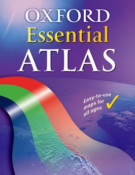
The Oxford Essential Atlas is specially designed for those students working within Levels 1, 2, and 3 of the National Curriculum across all year groups. It provides the structure and support needed for students who are at lower levels of achievement, in a format that matches other Oxford atlases.
The specification in this catalogue, including without limitation price, format, extent, number of illustrations, and month of publication, was as accurate as possible at the time the catalogue was compiled. Due to contractual restrictions, we reserve the right not to supply certain territories.