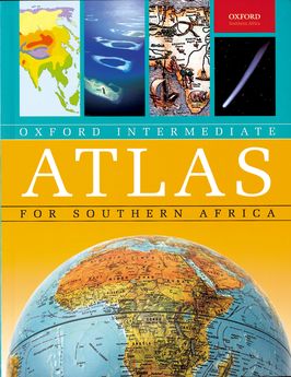
The Oxford Intermediate Atlas for Southern Africa is part of a ground-breaking series based on the most up-to-date cartography available.
Designed to establish key skills and knowledge in the Intermediate phase, its clear approach and fresh perspectives make it an unrivalled resource for meeting the challenges of the new curriculum with confidence.
Features
- This atlas features an introductory section that establishes essential map-skills
- Clear layout, colours and keys to ensure that all maps, charts and graphs are easy to interpret
- Outstanding cartography using the latest digital technology
- The latest South African provincial and physical maps
- Tables of facts about South Africa's provinces that encourage learners to explore social and environmental conditions in their local regions
- Maps, charts and tables on the SADC region
- A wealth of maps, graphs and charts on issues such as health, education, tourism, population and the economy, based on the most up-to-date local and international data
- Vivid charts explaining the Earth's position and movement in space.
Primary School Intermediate Phase learners
